
High-Resolution Imaging Of Geostationary Satellites From The Ground
By Henrique R. Schmitt, J. Thomas Armstrong, and Sergio R. Restaino
Optical interferometry has the potential to deliver the high-resolution images needed for surveillance and condition assessment of geostationary satellites.
 Ground-based, high-resolution imaging of satellites in geostationary and ot her high-altitude orbits represents a critical gap in the capabilities available for Space Situational Awareness (SSA). Images with a resolution better than 50 cm are essential in order to be able to diagnose problems with these highly valued assets. High-resolution images also are important in detecting the presence of nearby objects, which can pose a severe threat to these satellites and their environment.
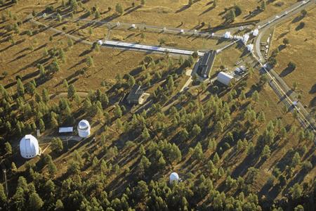
Given the typical range of these satellites (36,000 km), they barely are resolved by the largest groundbased telescopes currently available. To put the problem in perspective, a 3.6-meter telescope observing at 600 nm wavelength, at the range of these targets, has insufficient resolution power to detect structure details smaller than approximately 7 meters. To reach spatial resolutions better than 50 cm — needed to identify features in these satellites — to diagnose problems or to detect the presence of potential nearby threats, one would need a telescope with a diameter of 50 meters, or larger. Such a facility is not available and would be prohibitively expensive.
Get unlimited access to:


Enter your credentials below to log in. Not yet a member of Photonics Online? Subscribe today.